The future is very bright for remote sensing using drones. Actually the future is here!
Just look at the Phantom 4, so packed with unbridled futuristic technology it is akin to the smart phone in our pockets – and it can be controlled by one as well. For around $2,500 you can now buy a bit of kit that can take super high resolution imagery over relatively large areas (it can travel up to five km from its base with 30 minutes flight time). Only years ago this type of capability would have cost $10s of thousands, and five years ago you would not have seen much change from $100k. The speed at which this technology is changing in the last two years alone is incredible.
However, there’s been a lot of issues with drones in the past (and Piers talked about it at a previous Georabble), and there are many protocols to follow when using them. While the equipment is getting cheaper, it is critical to ensure the operators are not only accredited under the Civil Aviation Safety Authority but also have a proven track record of safe and professional drone piloting and imagery acquisition. We have contracted Andrew Moore from Aerial Environment – who fits all these bills – to capture mangrove and seagrass imagery for an upcoming project in Shark Bay enabling us to accurately map and evaluate the distributions, which is scheduled for the end of May.
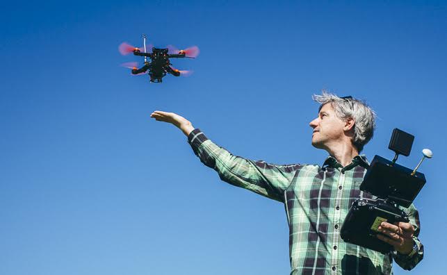
Andrew with his pet drone
To prepare for the upcoming Shark Bay trip Andrew conducted a ‘dry run’ of the Bunbury Mangroves in the Leschenault Inlet, which he and I then jointly presented during some recent GIS training at the South West Catchment Council (SWCC) to showcase the viability of drones for their on-ground work. We actually loaded the imagery directly into SWCC’s GRID instance for the demonstrations.
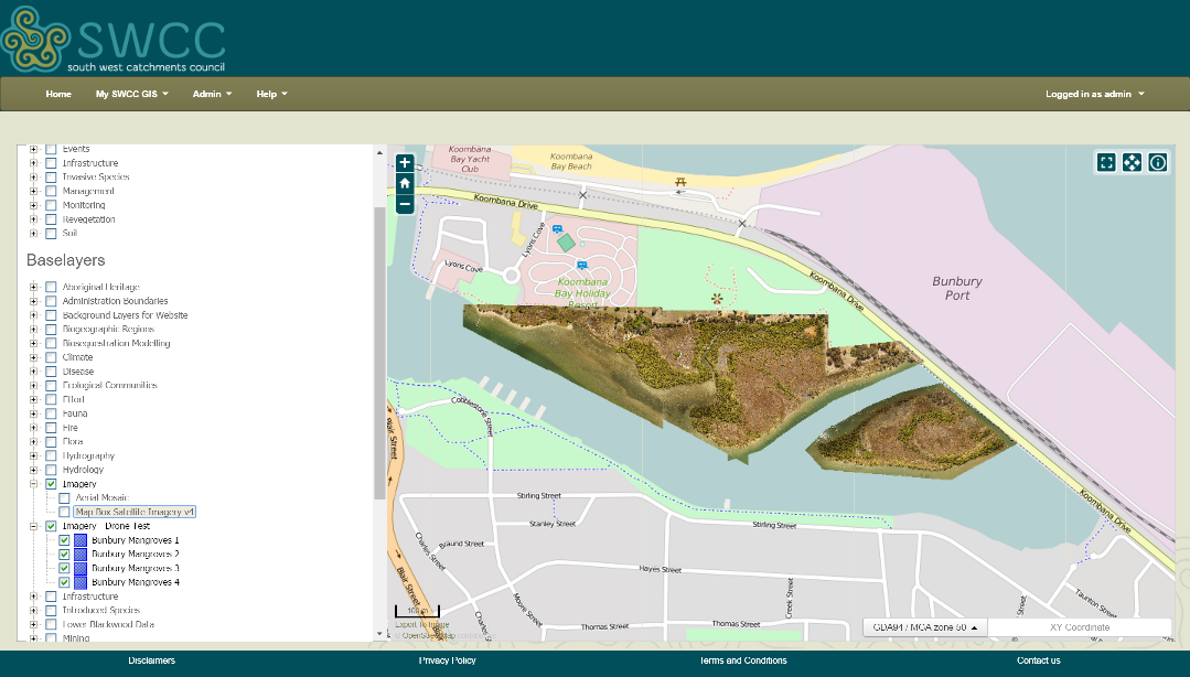
The imagery in GRID
The imagery (a more detailed version can be seen below) was captured at an altitude of 260 ft, which Andrew said is the ‘sweet spot’ for resolution and coverage. At this height Andrew captured all the Mangroves within the inlet in 15 minutes with a resolution of four cm! You can actually see small sections of individual plants that have suffered die-off, along with their complex root systems. To top this off the ‘out of the box’ camera also collects enough data to create a 3D model of the entire area, enabling fly-throughs from any height showing individual mangroves!
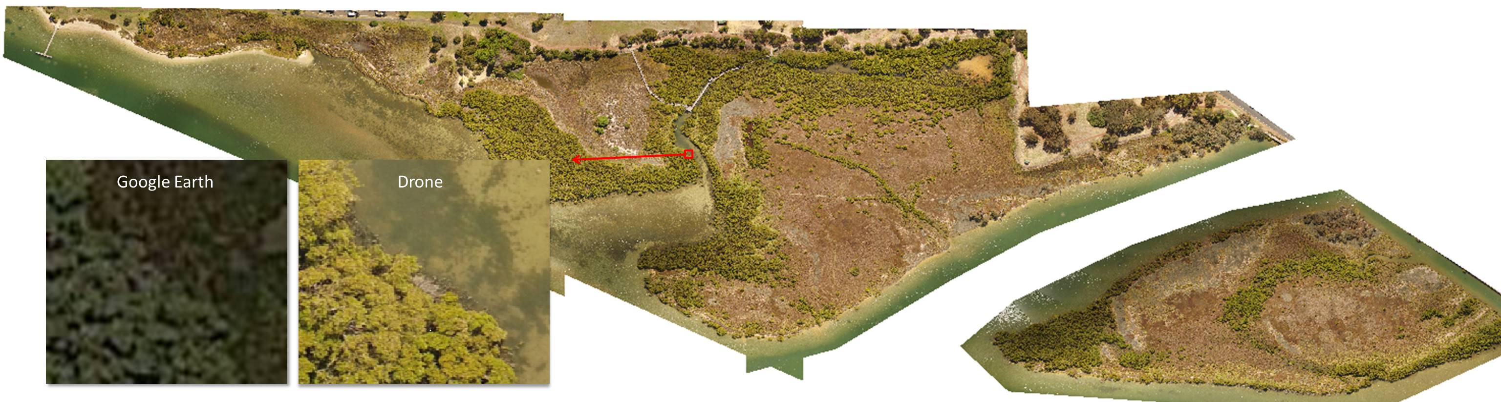
Captured imagery of the Bunbury Mangroves (click on the image)
I can’t wait to see the drone in action again when Andrew and I head up to Shark Bay in the next couple of weeks.
It certainly seems that the viability of acquiring beautiful, high-resolution imagery for conservation groups with limited budgets is greatly improved and can translate into real efficiencies for environmental planning and monitoring with virtually no environmental impact. When quality gear is coupled with a quality operator, like Andrew, then the sky is really the limit!
If you would like further information about how this sort of imagery might be useful for your organisation, you can email me directly here or you can start a conversation with us via Twitter, LinkedIn or our Facebook page.
James
Comments are closed.