Last week Grit and I attended the 34th International Symposium on Remote Sensing (ISRSE34) in Sydney. I wasn’t sure what to expect, but I knew the program was crammed with talks ranging from ‘Novel information exchange algorithms’, ‘Societal & public health benefits of remote sensing’ to ‘GEO forest carbon tracking product development’. Some sounded immediately interesting, some sounded over my head or not applicable. There were so many talks that some were not presented in person but available to watch anytime as an ePresentation – I struggled to find the time!
It was great to get back into the RS world and see the various ways that people are applying the science. When I last dabbled in RS, imagery was expensive and not readily available at the quality people wanted. Now there are hundreds of satellites providing many types of imagery. Interestingly, the conference presenters seemed to focus on Satellite imagery with few mentioning air-borne sensors.
The symposium was indeed international with people from China, USA, South Africa, Netherlands, UK, Germany, Italy, Indonesia… There seemed to be some repetition of work between countries, although this symposium is a great way to reduce that through an exchange of ideas, there were several instances when people made suggestions on how to improve others work. To help people exchange ideas and coordinate and support country’s to develop their use of RS the active industry body definitely helps. The GEOSS also has some interesting projects on the go including lots of analysis of the recent Japanese earthquakes. Have a look.
One topic that I was interested to find more about was bush fire detection, modelling and prediction. There were several presentations that covered this topic, one that stuck in my mind from Philip Frost (CSRI Meraka Institute) was about flashovers. Flashovers are the arcing between high-voltage powerlines caused by fire events. The arcs may only last milliseconds, but with any interruption to power supply the effect on industry can be expensive. Philip gave the example of a printing press that had to be completely re-started following a power interruption. Philip was investigating the causes of the flashovers and the probability of predictions using weather data (temperature, humidity, wind speed and direction) and vegetation descriptions. The appealing thing about this presentation was that Philip and team notified people of fires by mobile message based on their location. The necessity of having good base map data is obvious. Oh, could Philip predict the fires? Yep, they are 96% correct with their predictions. There is also a lot of work going on in Australia by various people to predict and detect fires.
Number of hotspots 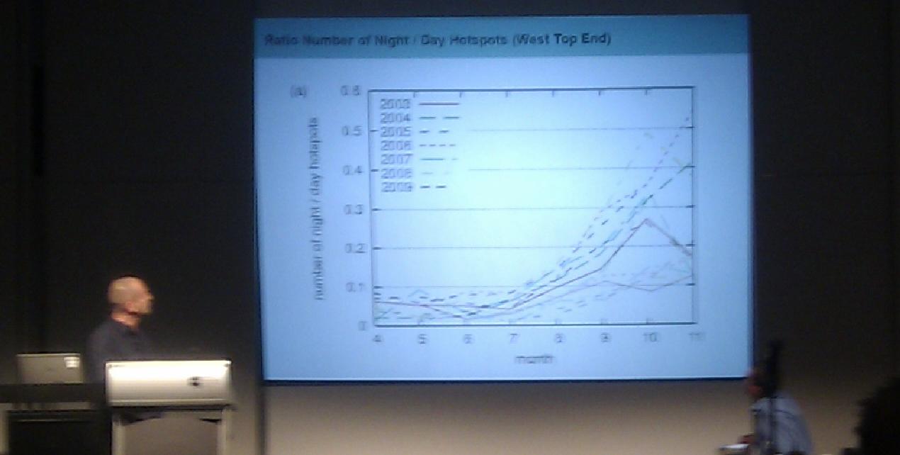
What stood out from four days of wall-to-wall presentations? The enthusiasm of the presenters and the audience, and the breadth of topics. Fortunately, people are amalgamating the wealth of data available and making applications that give easier access. A simple example of this is Landsat imagery is now free – years of it.
Comments are closed.