Overview
We recently built a new on-line spatial system for the Land for Wildlife program. Land for Wildlife (LFW) helps private landholders maintain habitat for wildlife on their properties, creating a network of native vegetation across Western Australia where wildlife can flourish.
The program is managed by the Department of Biodiversity, Conservation and Attractions (DBCA) and is delivered in partnership with seven regional Natural Resource Management (NRM) groups. The program currently has almost 2000 properties across Western Australia.
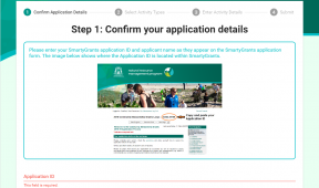
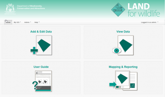
We developed a web-based spatial system to manage information about the existing LFW properties and new applicants to the program. The system allows DBCA and regional NRM officers to view and edit the data in an integrated system, with all officers able to see updates in real-time. This makes collaboration much easier, both within each group and across all eight organisations. It also saves officer time (previously information was stored across multiple formats and systems) allowing officers to focus on the landholders and wildlife conservation.
The system is based on GRID, which was originally developed for South West Catchments Council and is currently in use in seven NRM groups, and two other whole-of-state programs (State NRM and the Dieback Information Delivery and Management System).
For LFW we worked closely with DBCA, Peel-Harvey Catchment Council (PHCC) and the other regional NRM groups to tailor this version of GRID to suit the workflow and partnership-based delivery of the LFW program. This work was completed as part of a State NRM Program funded project, managed by the PHCC and DBCA.
Services
GRID / Software Engineering / Web development