Overview
The purpose of this project was to evaluate if remote sensing techniques could be used to determine the different crops in a region of intense agricultural production in the Carnarvon region of Western Australia.
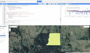
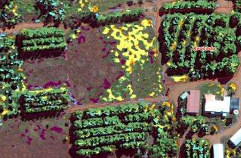
In this project Gaia Resources identified training areas, sourced imagery, developed spectral signatures (from the imagery) for the crops, and undertook a range of evaluation and classification methods. We then provided an evaluation of the training areas, highlighting the issues that were found with the development of spectral signatures. As part of the deliverables we provided details of the spectral signatures that were successfully captured and the classification results themselves.
We then covered off on discussion and recommendations for the future of using these techniques, including directions for future similar projects.