Overview
Gaia Resources was contracted to conduct an Unmanned Aerial Vehicle (UAV) pilot survey for Shark Bay Resources of selected mangrove, seagrass and rehabilitation areas in and around SBR’s salt mining operation. We partnered with Aerial Environment for the delivery of this project.
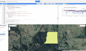
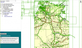
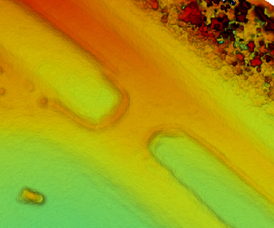
Several UAV flights were completed over three days of field work to cover 143 ha of land – this successfully demonstrated that UAVs can assist with the mapping, monitoring, and management of mangroves (both extent and condition), seagrass (mapping the seagrass extent to a high resolution), rehabilitation sites (mapping and monitoring rehabilitation sites_ and even pond inspection (where we inspected and surveyed the bank condition and heights of the salt ponds).
The purpose of this survey was to illustrate the use of these technologies and provide example outputs so that the client could assess the viability of using UAV’s periodically for their environmental monitoring requirements, and this was achieved as a result of the project.
You can read more about this project in our blog, either including the ‘dry run‘ project we ran prior to heading to site, or the trip itself.