Overview
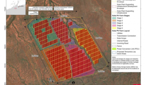
Back in 2011, Gaia Resources implemented a new spatial mapping system based on QGIS for Tranen, that linked to their customised database to map and display information about their revegetation projects. The implementation included the development of this linkage, several mapping templates and a restructure of their corporate GIS data stores. The system is still in use to this day, and we revisited it in 2017 to produce the blog at https://www.gaiaresources.com.au/using-qgis-environmental-restoration/. This is a highly sustainable solution for Tranen that they can manage in-house, and is one of our first commercial implementation projects using the open source QGIS platform.