Having been a spectator, then speaker, and now organiser of this networking event, Georabble is a phenomenon I have really grown to love over the years. I think it embodies everything I want out of a career in the spatial industry – the ability to break down silos and do away with sales pitches, share stories and learn from others in a way that expands your own horizons without locking you into a particular technology. The “spatial industry” I prefer to think of is a community of people with a passion for location data, but distributed across many disciplines and sectors.
For the uninitiated, a Georabble is a semi-regular networking event held in a pub with some quick format talks (less than 10 minutes), some nibbles and the occasional free beer put on by an event sponsor. People come to the event for a variety of reasons: to learn, to make new connections or catch up with old colleagues, to step away from the daily grind or gaze above the cubicle wall.
There are a few simple rules to follow at the event:
- Celebrate each others’ triumphs
- Respect each others’ choice – no technology bigotry
- No sales pitches – this includes services, software, data etc.
- No company logos or ‘about us’ slides
- Keep it short – 10 minutes per talk.
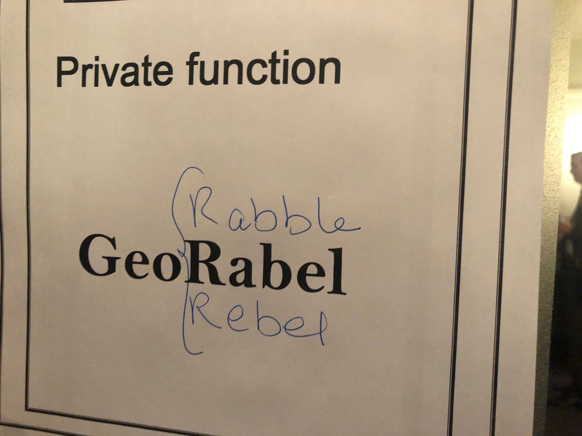
Georabble can mean many things to different people (source: georabble.org).
Apart from the Georabble logo itself, the sponsor has the only free ticket to give his/her company a plug. When a speaker – in their rush and excitement to tell their story – inevitably slips up and mentions their favorite software package or organisation, you get to witness the comical call of the native Rabbler gently heckling them like some well meaning but mischievous Uncle: “Rabble, rabble!” This is a good natured heckle though and is just intended to keep to the spirit of the event.
I recently co-organised the first Georabble in Darwin held on 12 September and used some experience/learnings from speaking in Perth and once in Melbourne to help us get the Darwin chapter initiated. We also had help from the other administrators across the country who are very active with Slack and social media platforms. From the time I moved up here though, I met some great people who manage weeds programs, conserve threatened species, create software, detect bushfires, develop environmental impact assessments and manage cadastral frameworks. It dawned on me as I interacted with these new contacts, that there wasn’t really a forum for geospatial professionals, and that while some didn’t realise it they all shared the same passion despite being spread across very different industries.
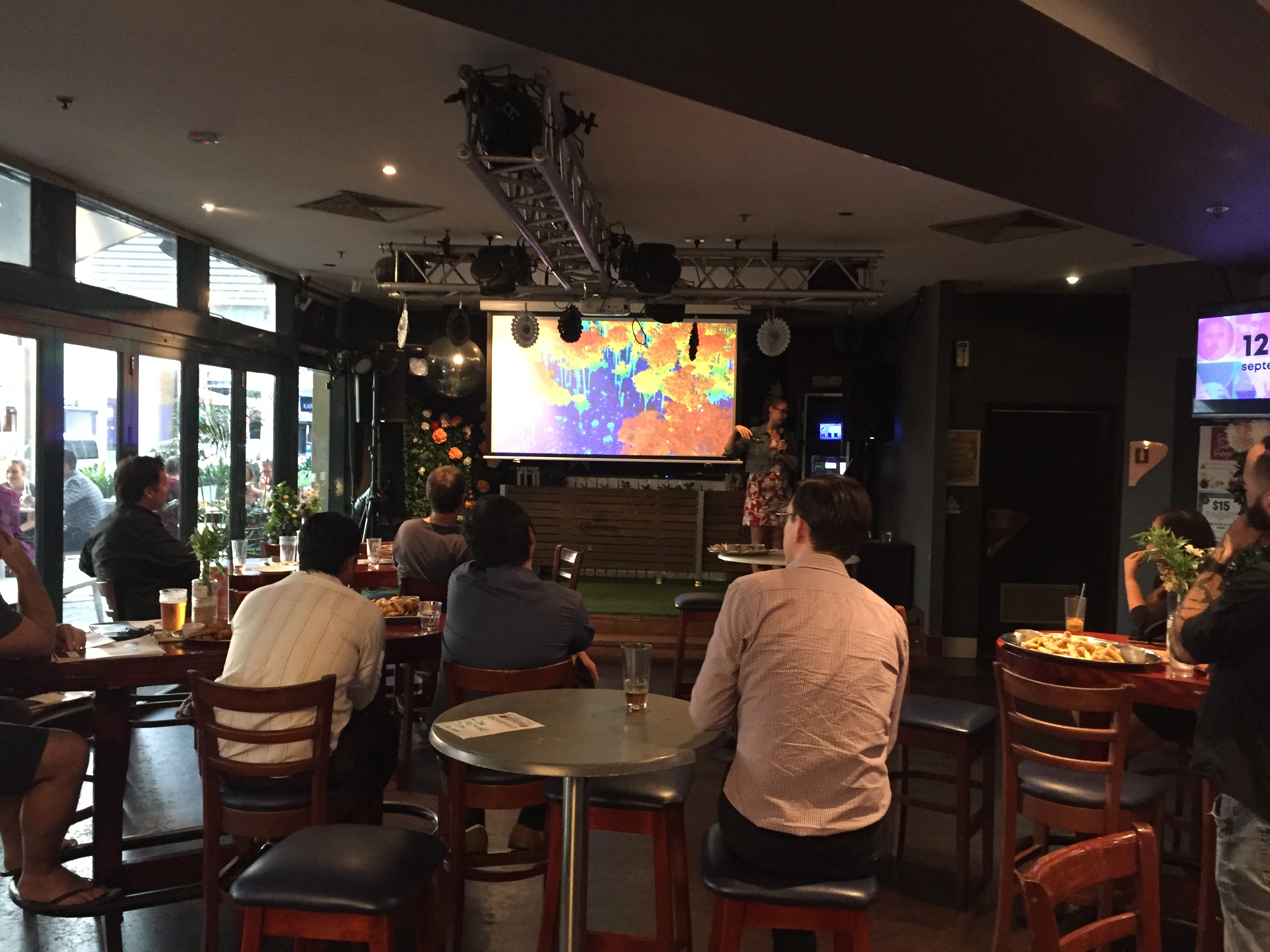
We had a small gathering at the Darwin event, but the people that did come were treated to four interesting (and varied) talks – one on the state of the Northern Territory’s cadastral framework and moves towards exciting future 3D data products. There was a presentation on the use of terrestrial laser scanning to characterise Savannah glider tree hollow habitat with some great insights into this marsupials’ adaptation in different climate conditions. We travelled (in our minds) to Tasmanian forests to understand why some pockets of forest were able to sustain decades of bushfire activity, and in another talk how open-source software had been leveraged to create a mapping application for wildlife tracking with drones. You can also read about that last one in our other blogs here and here.
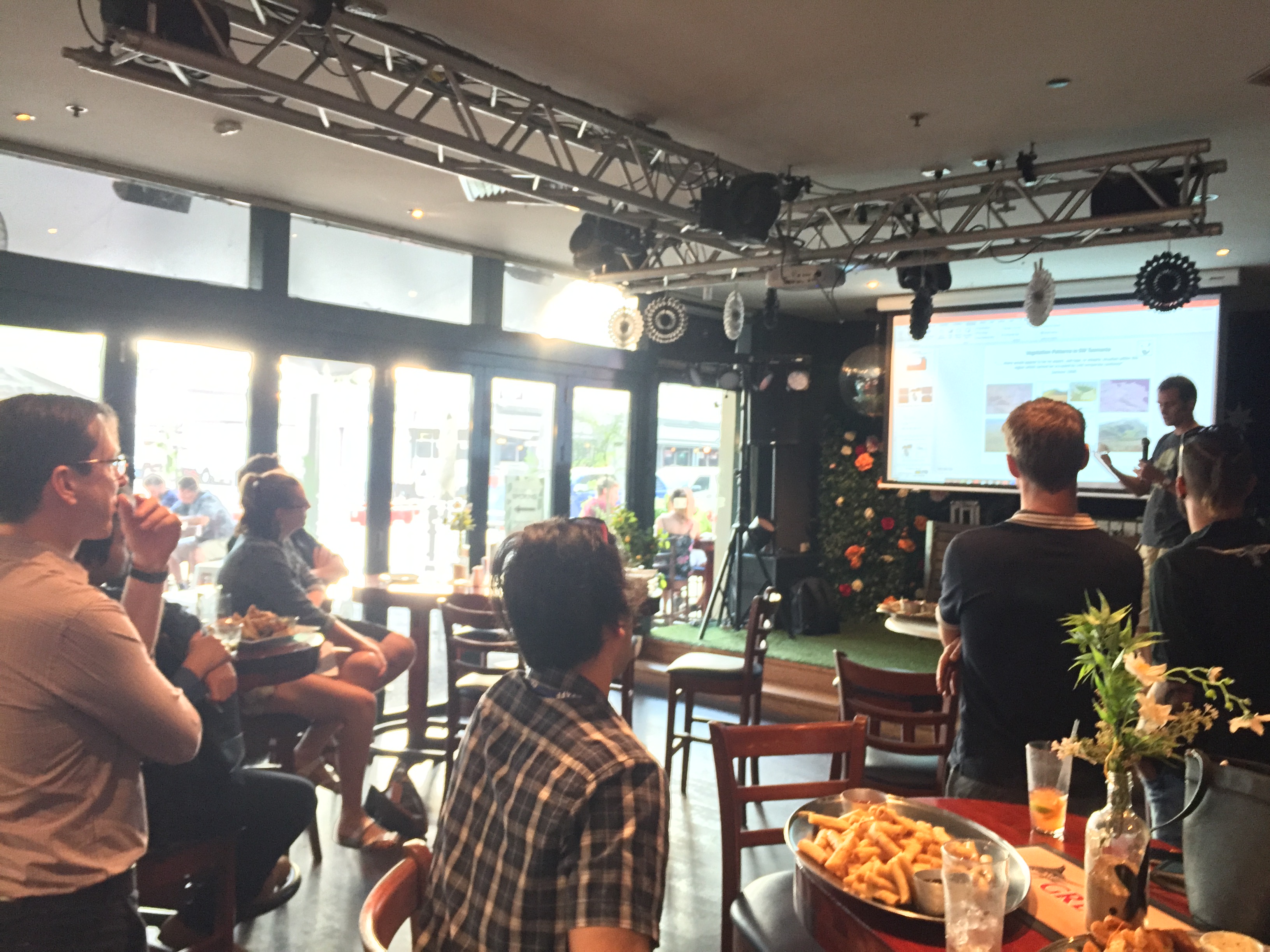
Darwin geo-obsessed people hearing about Tasmanian fire ecology (top) and
findings from an terrestrial laser scanning tree survey (bottom).
I picked up a very important message in organising this event – one of inclusion and diversity. Spatial technology is embedded now in so many professions, and it comes in so many different guises that you can’t afford to be precious about traditional terms. There are data scientists, planners, engineers, ecologists, botanists, public health practitioners, farmers, policy makers, geoscientists… man I could just go on, but I’ll spare you! All of these professions out there that are creating, relying upon and making decisions with location data. Every one is (hopefully) interested in maintaining data quality, understanding where to get information, how to use it properly, and to gain some insights from the triumphs or tribulations of other spatially aware people.
Georabble is that forum. Those who attended the Darwin one are all keen to run another – so I would call that a great success!
If you are interested in this event, keep an eye out on the Georabble website or @georabble Twitter feed for the next one in your city- and bring a friend, it’s a blast! Or feel free to drop me a line directly via chris@gaiaresources.com.au, or start a conversation with us on social media via Facebook, Twitter or LinkedIn.
Chris
Comments are closed.