I was recently asked the question: what can a technology company do for environmental regulation?
It’s a great question and gets at the core of a lot of the work I’ve been involved in over the last 15yrs on both sides of the fence helping government and proponents to limit environmental impacts – particularly in relation to approvals, reporting and compliance.
A common theme at the NT Resources Week back in September – and again in conversation at the Territory NRM conference in Darwin – was that we live in a time of rapidly changing and evolving technology, and this represents major challenges for the regulators and proponents alike to communicate and report on projects, and to weave their way through environmental risks from the approvals stage through to closure.
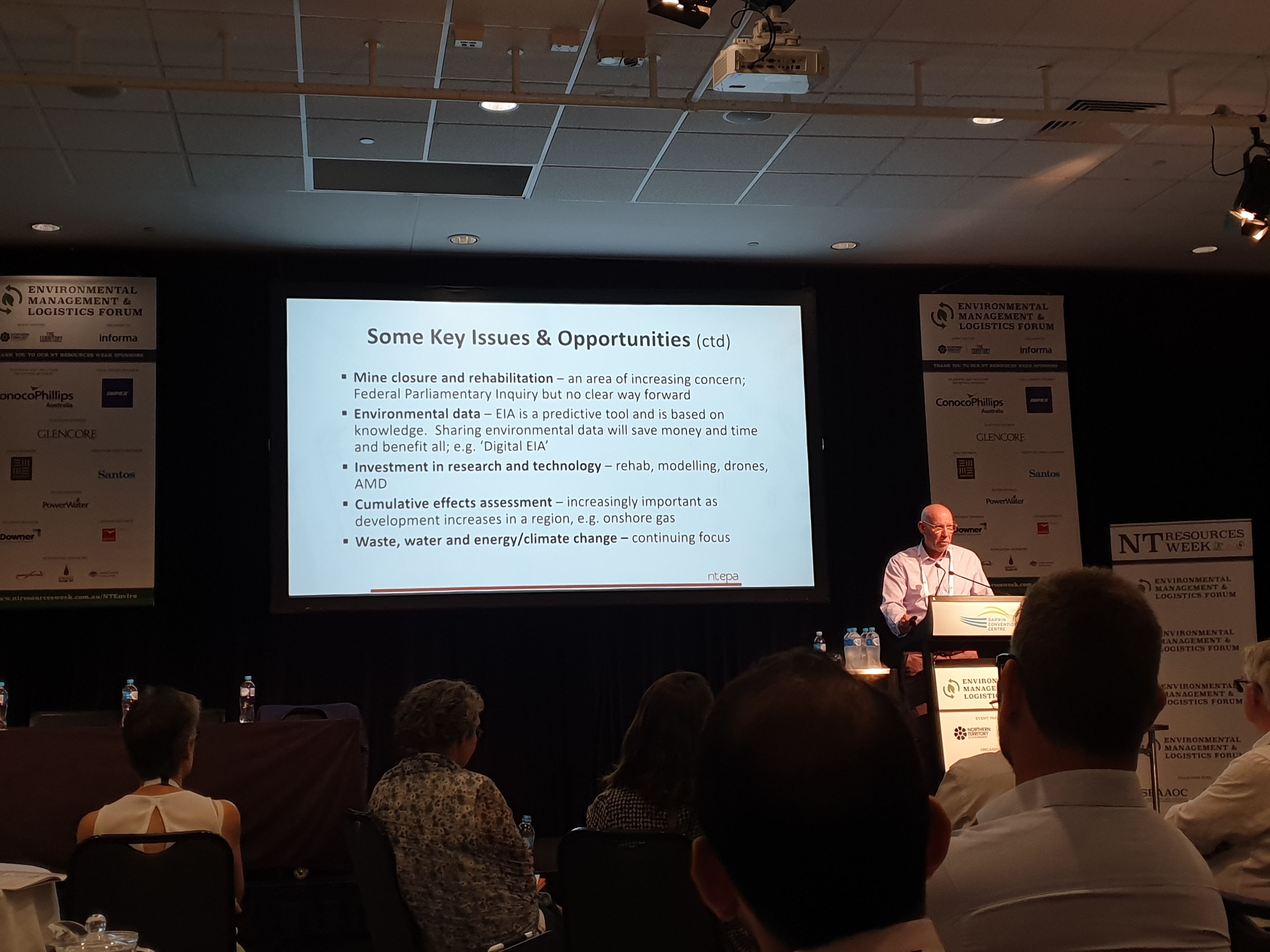
The chairman of the NTEPA – Paul Vogel – at NT Resources Week discussing key issues and opportunities in environmental regulation.
It was presentations by Paul Vogel (NTEPA) and others that brought a few things home to me about how environmental technology – including emerging opportunities in data science and machine learning – can make a difference. Here’s some of the ways in which we have helped organisations such as regulators and resource companies, including:
- System health checks,
- New and improved data sources,
- Monitoring and automated reporting,
- System development, and
- Data analytics and data science.
Some thoughts on these areas follow.
System health checks
We can undertake independent reviews of how well an organisation’s technology systems are performing in the areas of data collection and discovery, software and automation, hardware and processes (like we did for the Independence Group and the WA Office of the Environmental Protection Agency). These health checks are ways in which technology can reduce operating costs for environmental regulatory processes.
One of the key parts of this approach is our independence at Gaia Resources – we are not resellers of any software, so we can recommend the best of breed solutions to our clients.
New and improved data sources
Data is being collected in unprecedented volumes, with organisations involved in applications for water and soil quality monitoring, ground disturbance tracking, logistics, energy efficiency etc. Sensors on the waterways, on vehicles, drones and on satellites, or behind the electricity meter, are all gathering massive amounts of time series data to monitor our environment.
We keep a close eye on new sources of data – such as remote sensing products and sensor data – that might benefit regulators (and indeed, any of our clients) through integration for their compliance monitoring programs. Some recent ones we’ve found include:
- Weather and metocean data for field sample analysis,
- Smart Cities sensors (like at the City of Darwin) for heat, dust and air quality,
- Satellite imagery (e.g. Sentinel-1 and Sentinel-2) for vegetation cover, health and flooding,
- Drone data products for site compliance and risk assessment,
- Broadscale data products from Digital Earth Australia for regional assessments.
Through our products like GRID, we also provide managed services where we provide these sorts of new data source to our clients as layers in that web mapping solution that they can then use across their operations.
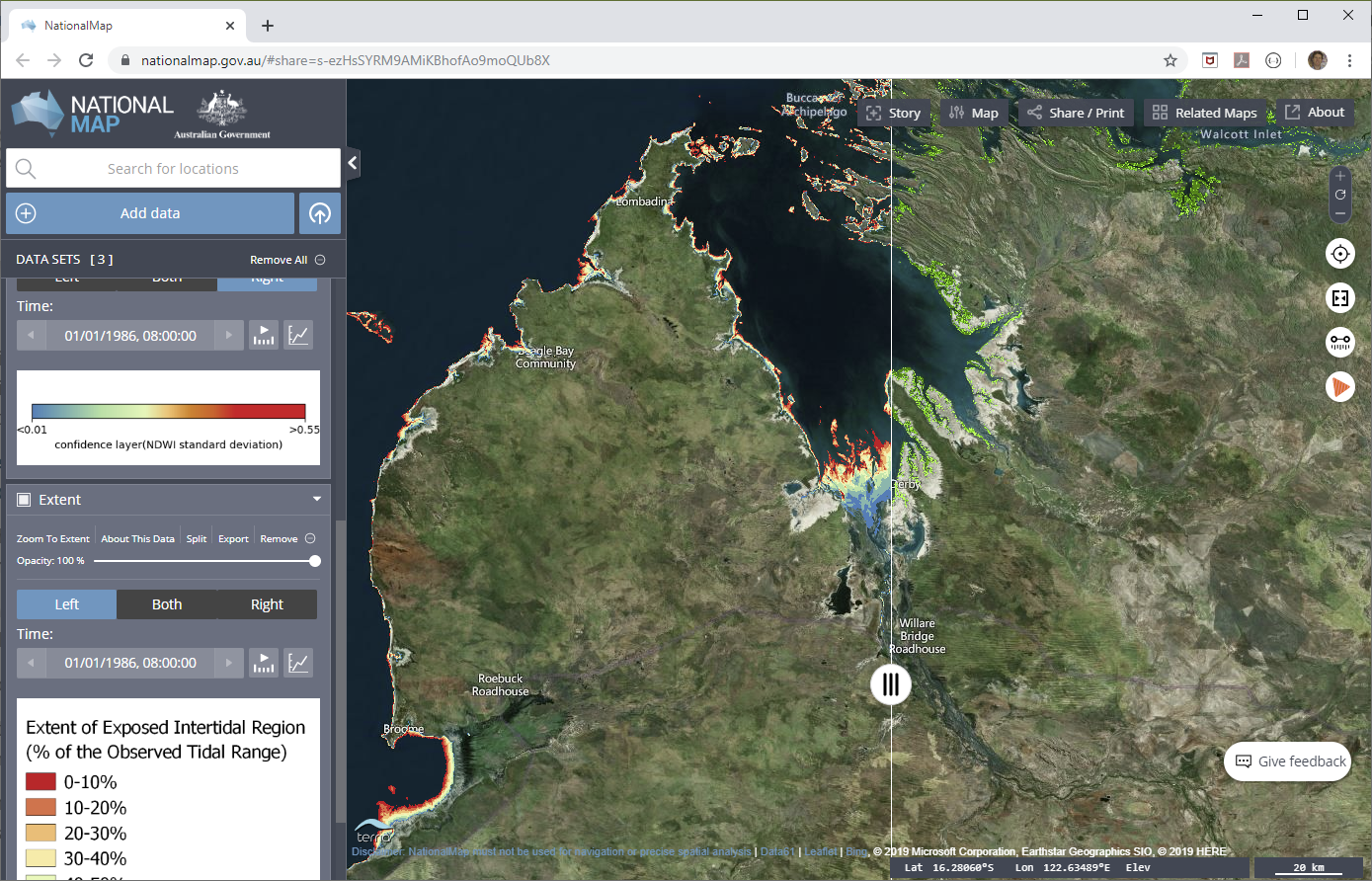
Open data products from Digital Earth Australia (Geoscience Australia) like mangrove cover and intertidal extents can easily be brought into GRID and other GIS packages for monitoring projects (Source: National Map).
Monitoring and Automated Reporting
Whether we are talking about land clearing, air quality or other metrics, this is about using the aggregated data sources (including smart data sensors and field data) to assist the regulators and proponents to improve the accuracy of their work, and save time and money through push-button reporting. In turn, the regulator receives more accurate, consistent and timely reports against environmental conditions and thresholds – benefiting the environment.
Recent advances in remote sensing offer a powerful tool to answer the question “Are we having the minimal impact we said we were going to have?” Imagery from free (or near free) satellite platforms can now give us a snapshot every few days about land disturbance, vegetation health, soil moisture, dust and other factors. Drone imagery offers another more localised dimension to site monitoring capabilities – and drones can of course do other things, as we have found in our work with Wildlife Drones.
System Development
Regulators often have processes that may or may not have systems to support them – online systems can simplify and standardise the submission of data, like Environmental Impact Assessment data, which has the benefit of streamlining processes – and this can also deal with one of the pain points I’ve heard from both regulators and proponents around understanding the status of an application.
Data Analytics and Data Science
Using the knowledge of past disturbance and a range of aggregated environmental data, the environmental impact of a current application can be assessed against a broad range of potential impact variables (see our previous blog on this topic, focusing on cumulative impacts). With advances in data science, machine learning and big data, predictive modelling is becoming more and more realistic for regulators to take up and use in their operations.
If you’d like to know more about our work in the environmental regulation space, or want to share your ideas on how we could be further leveraging new technologies in this area, then please feel to start a conversation on any of the regular channels ( Twitter, LinkedIn or Facebook) or send me an email on chris.roach@gaiaresources.com.au.
Chris
Comments are closed.