Overview
Gaia Resources reviewed the available aerial photography and other remotely sensed (satellite) imagery covering a mine and adjacent areas in the Pilbara region of Western Australia. This project included two phases, the first being to source the wide range of imagery (ranging from 1972 through to 2008) and in the second phase of this work, to undertake analysis of the changes over time to a range of vegetation associations.
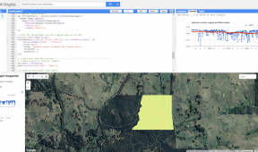
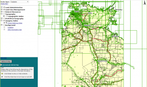
Gaia Resources sourced the range of imagery and from these images captured the extents of broad, readily recognizable vegetation categories across the images. This work involved manual digitizing of vegetation types, which was then reviewed to produce broad vegetation maps for the study area.
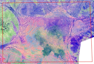
The analysis undertaken then took into account variations in the different imagery sources, the occurrence of fire, changes in the study area caused by topographical changes (e.g. earthworks), and variability in the rainfall in the area, to determine if the mining activities were a significant impact to the changes in distribution of the various vegetation associations.