Last week, Tracey and I did a (long!) day trip to Bunbury to deliver some training for the South West Catchments Council (SWCC), in both GRID and some basic Quantum GIS processes.
Training is a really rewarding process, but very exhausting. Thankfully, Bunbury has some pretty darn good coffee, and some pretty nice spots to sit and recharge, especially around the estuary (where, occasionally, even I see a dolphin!).
While I find training not only interesting (and fun), it also is quite challenging, for a wide variety of reasons. You have people of very different experiences in the room, the room itself is often not set up ideally for how you’d like it, and then you have all sorts of glitches that can happen during the day. However, this is all part of the challenge for the trainer, to try to deal with these glitches and make the training as relevant as possible to the wide range of audience members.
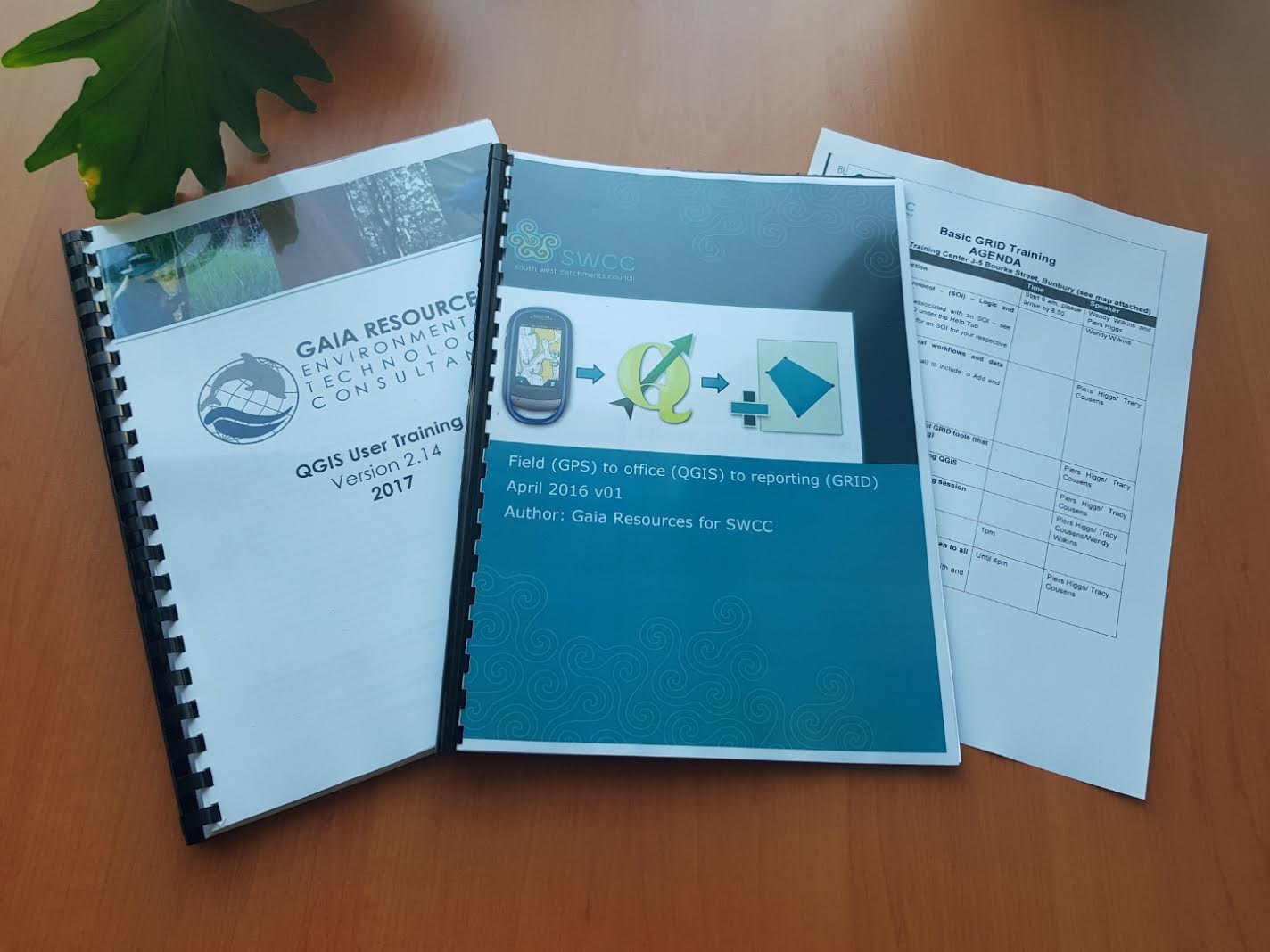
In this case, we were delivering some custom training in how to import GPS data into QGIS, use it to then create polygon datasets, and load them into the data standards that GRID uses (via the templates that are provided for each of the organisationally-defined activities). To do this, and to do it in a safe environment, we had Shay quickly duplicate the production GRID system into a temporary training setup (which worked a treat, and was readily able to be done in the scalable Amazon Web Services infrastructure that we use).
Nothing like being prepared…. a key part of training!
We had to jump around a bit in this course due to a couple of early glitches with the infrastructure at the training venue, but after giving people a quick refresher in GRID (focused on being able to view and interrogate data and make a map), we moved into the GPS section. Most of the attendees were there because they are doing on-ground works with SWCC, and this meant that they needed to be able to import some waypoints from their GPS, and then visualise these locations and create polygons that can then be loaded to GRID.
It was a pretty intense half-day of led training, but then the part of the day that is always the most challenging – the interactive session – went really well. Several of the trainees stayed right through to the end of the day, and Tracey and I helped to streamline their specific workflows, answer other related spatial data questions and to also help to lodge their data into GRID.
We’ve already had some good feedback from the people there, and we’ve been following up with them as well. In the meantime, Tracey and I are also revisiting the training materials and courses, and we will be updating our training materials in the next few months. If you’re interested in training, either for GRID, QGIS, or a combination, then feel free to get in touch with us via our training email address, or start a conversation via Facebook, LinkedIn or Twitter.
Piers
Comments are closed.