For a number of years we have worked with Dr Paula Hooper and the team at the Australian Urban Design and Research Centre (AUDRC), helping them to develop interactive mapping surveys to assist with a number of research projects to inform the design and quality of urban places and spaces in Western Australia.
Our most recent collaboration with AUDRC has been to help them build their Park Life survey tool. You can check it out at australian.park-life.com. There’s still time to participate and all surveys completed before 11:59pm AWST Friday 31st March go into a prize draw to win one of four $500 Westfield, Coles Myer or Bunnings vouchers.
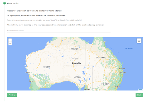
The interface for the Park Life survey – a clean, simple approach to collecting data
The project is ambitious and aims to capture (and map!) a national snapshot of park use across Australia. The survey asks you to identify the parks you use and then explores how you use them and how they make you feel. AUDRC will link this data (which is anonymised) with their nationally standardised spatial layer of parks and public open spaces, which covers all Australian state and territory capital cities. The results will help guide park managers in how they provide parks and open spaces for their local communities.
This dataset is just one example of the research projects that AUDRC undertakes, (listed at https://www.audrc.org/research) and that we are proud to have helped support over the years, right back to some of the early work where we were helping them to use spatial software through to these later projects delivering interactive web sites like Park Life.
It’s a real pleasure to continue to work with the crew at AUDRC – and there’s plenty more from our partnership in this area to come! If you want to know more about the survey or project, then feel free to contact Paula Hooper at AUDRC (paula.hooper@uwa.edu.au).
Piers
Comments are closed.