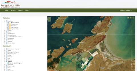
We have delivered an implementation of the GRID product to the Rangelands NRM group, after previously developing and implementing it for the South West Catchment Council.
The project involved discussing the work that is being done in the field by the Rangelands team, and then developing up Activities within the GRID implementation that met these requirements. GRID’s flexible schema allowed for Activities to be set up to record a wide range of information that the Rangelands team plan, capture and report on in the field.
Additionally, a range of base layers were identified as being required for the Rangelands team, including access to imagery across their operating area; covering 85% of the State of Western Australia. These datasets were sourced, processed and loaded into the GRID system.
Finally, we have trained the Rangelands team in how to use the GRID system through a workshop environment, and continue to support the team through an ongoign support contract, where we also assist them with their spatial data needs.