Environment

Working with our clients to protect and
improve the natural environment

Gaia Resources has always worked in the environmental field, since our inception, and we’ve provided a wide range of technological solutions to clients over since then.  We provide a range of different services to the environmental field, including:

  • Strategy Development - with over 20 years of operations, applying our expertise to help you develop environmental strategies around your technological needs,
  • Spatial Services - we can undertake project-based spatial analysis work, where we can deliver a holistic solution to you through our in-house team, or we can provide on-site or remote spatial support for your business, 
  • Software Development - across the full Discovery, Design, Develop, Test and Deploy cycle we utilise, we can deliver software across a range of different platforms and languages,
  • Support - we operate an enterprise level help desk service that can be used to support the systems you operate,  
  • Data management - with a raft of expertise in biodiversity and other environmental data, we specialise in helping our clients get the maximum value from their data, and
  • Training - we run training in the open source package Quantum GIS as both commercial courses and through a freely available online training course.

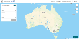
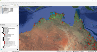
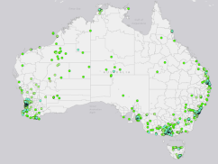
These services have been delivered across a range of different organisations to deliver a wide variety of environmental technology solutions, as can be seen from the projects shown on the map and list below.
Transcribing Field Notes with Artificial Intelligence

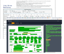
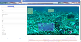
Gaia Resources undertook a proof-of-concept project with the Department of Environment, Parks and Water Security to transcribe a number of scanned hardcopy field data sheets using our Clio Artificial Intelligence (AI) tool.  Clio is a web based system built around the Amazon Web Services Textract product, and it enables uploading, reviewing and correcting of scanned forms like field data sheets through the web interface.

Northern Territory aerial imagery capture program

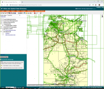
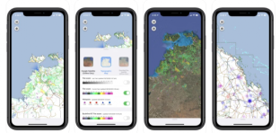
In July, 2019 our partners Outline Global embarked on a 3 year contract to capture, process and supply aerial imagery across the Northern Territory. Gaia Resources provides a local client liaison and support resource for this project which covers the Darwin area and a broad range of towns and regional communities. Imagery and elevation models derived through photogrammetric methods are used by the Northern Territory government to support a wide range of programs and activities including infrastructure planning, flood modelling and environmental regulation.

Mundaring wildlife corridors

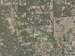
Gaia Resources was engaged in the first half of 2022 to conduct a multi-criteria analysis in order to create a set of proposed wildlife corridors for the Shire of Mundaring. The corridors connect patches of vegetation – sometimes called ‘stepping stones’ – across the Shire through the spatial analysis of Urban Monitor native vegetation, LiDAR derived stream networks, land use categories and roads.

Biodiversity Data Repository

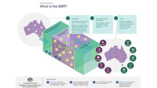
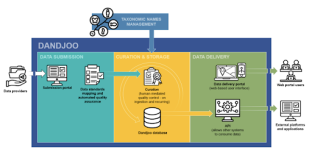
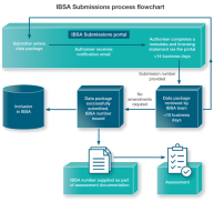
In early 2022, Gaia Resources became the data partner for the Australian federal government’s Biodiversity Data Repository project, created to improve the way that biodiversity information is managed.  Gaia Resources has built the technical data delivery ‘pipeline’ whereby information reaches the main data store of the Repository, through a series of quality reviews and transformations to turn relational data into linked data.

Carbon Neutral GIS Health Check

Carbon Neutral engaged Gaia Resources in March 2022 to assess their GIS environment. The Carbon Neutral team found that the file structure arrangement and data management were issues that were affecting their current spatial operational workflow. At the same time, other core elements were highlighted as potential areas for further development: including the establishment of processes relating to GIS workflows, and an overarching company standard for spatial data.

Forest Canopy Change Detection

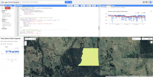
In early 2021, the Forest Fire Management group at the Department of Environment, Land, Water and Planning (DELWP) engaged Gaia Resources to undertake a technical investigation of spatial tools that could help in bushfire risk management in the Hume region of Victoria, Australia. Monitoring forest canopy change through remote sensing was seen as an emerging operational capability that could provide important information and trends to inform the agency about increased risks of catastrophic burns in a changing climate.

Biodiversity Standards and GIS Services

Gaia Resources undertook a short discovery exercise with the GIS Team Lead at Mineral Resources, to develop a Biodiversity Data Standard.  This consisted of a comprehensive governance document guiding the capture and storage of biodiversity data from both internal and external (consultant) workflows. The Standard includes a template spatial database for contractor data submission, and by virtue of its open-source nature, this spatial database is compatible with many common GIS software packages in use across the sector.

Garnet Mining Australia

We had the opportunity in early 2020 to do a deep dive into the GIS system at Garnet Mining Australia (GMA) and help them to set up a best practice spatial environment for their core business workflows. This started with our standard GIS health check followed by the migration of data to a cloud-hosted database. We helped GMA to design file and folder naming conventions, and built up a guideline and set of procedures to help them easily manage their spatial data into the future.

Yamatji Marlpa Aboriginal Corporation (YMAC) QGIS development

In late 2019, Gaia Resources were engaged by the Yamatji Marlpa Aboriginal Corporation (YMAC) to undertake a small QGIS plug-in development project. QGIS is a Free-and-Open-Source Geographic Information System software used by YMAC and many organisations as a core part of their business operations. It is used to analyse and model spatial information, and to create maps and data products that support decision making processes.

Supporting Gavin Jackson CRM

We worked with Gavin Jackson Cultural Resource Management to review their existing field data collection and reporting approach and develop a new way forward that would be sustainable for the business into the future.  

As a small business that specialises in consulting to other organisations, Gavin Jackson CRM has to have a system that supports their workflows, has minimal establishment and ongoing costs, and delivers a high degree of value, so that they can remain competitive and lead the way in their field.

Hydrologia GIS support

Gaia Resources started providing GIS mapping support to Hydrologia in March, 2018 and have been working with them on a series of projects since. Hydrologia is a specialist surface water hydrology consultancy with experience in a broad range of services related to understanding and managing complex rainfall and runoff issues.

Wildlife Drones desktop app

In mid 2018, Gaia Resources were engaged to develop a desktop app for Wildlife Drones to act as a field mapping application for the real-time display of (radio frequency) tagged animal locations monitored by a drone. The project involved an initial discovery phase and technology review to understand what software platforms would be ideal to meet the requirements of the solution.

Get in touch with our team

enquiries@gaiaresources.com.au