Tracey spent two days in Albany recently, undertaking Geographic and Reporting Information Database (GRID) Administrator training for the South Coast Natural Resource Management (SCNRM) group.
We are always looking to improve GRID to create further efficiencies for the user and increasing data quality. One suggestion that arose during the workshop was to see whether it was possible to enter field data on a tablet device in remote areas. This would allow SCNRM staff to plot their work areas, fill out form fields and upload photos straight to their newly created GRID feature.
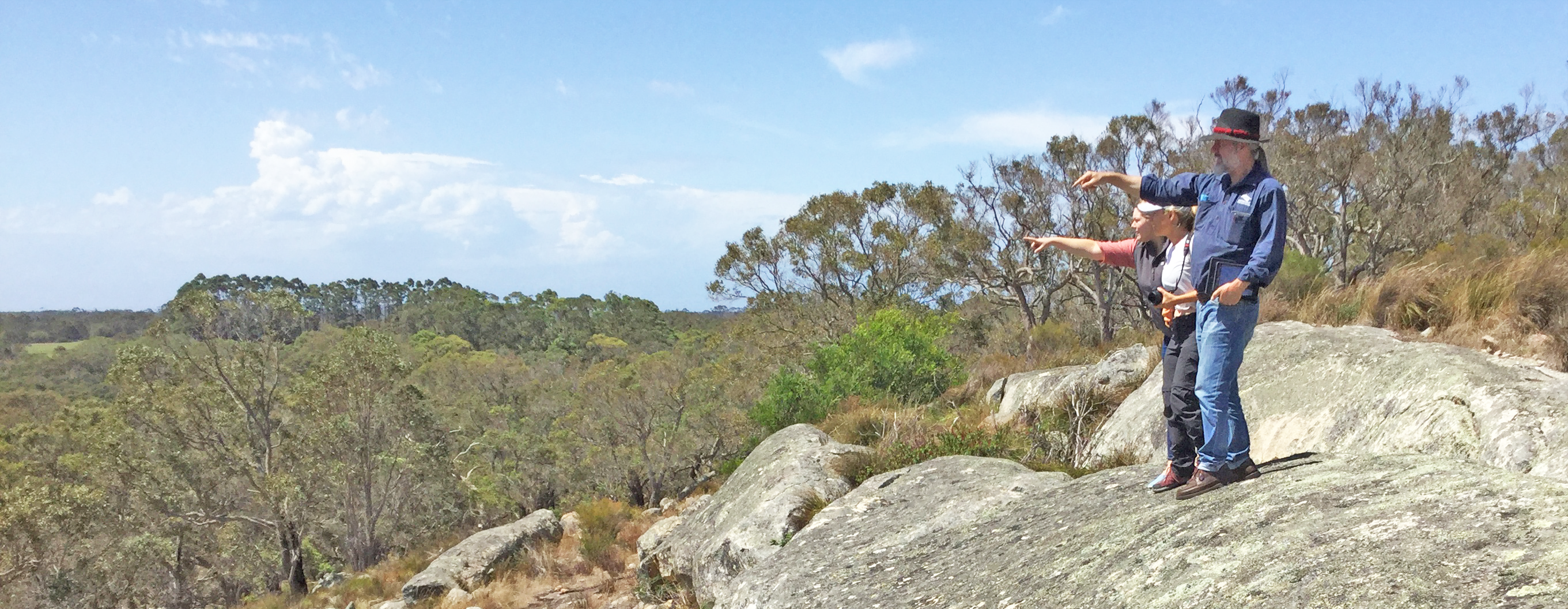
On the second day of the workshop Tracey, together with a few of the workshop participants, went out to Mt Manypeaks north-east of Albany, to a granite outcrop with cultural significance at the edge of Lake Pleasant View. SCNRM Project Officer for Cultural Heritage Peter ‘Twigg’ Twigg has been working there with local indigenous teams focussing on weed management.
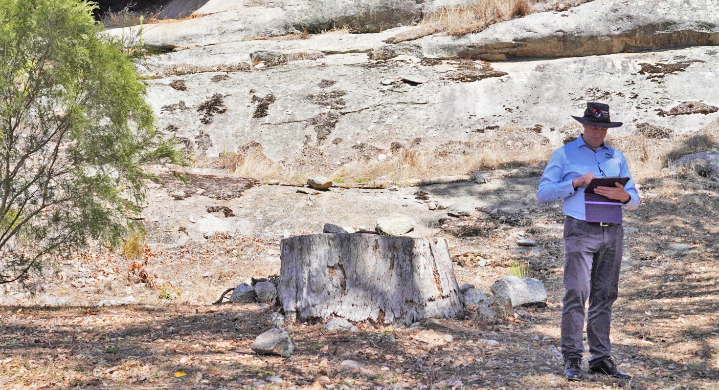
Twigg and Ray used GRID on the iPad to perform a variety of common tasks. With Tracey’s guidance, Twigg was able to:
- add features to his GRID instance including points, lines and polygons, and upload PDFs and images,
- take photos on the iPad and load them directly into GRID – a great time saver as it avoids double-handling images back at the office.
Of course, we also discovered some of the current limitations of using GRID in a web browser on a mobile device, such as:
- employing tablets with 4G connectivity would have been helpful, but we were able to hotspot from our phones and use SCNRM’s wifi-only iPads without much hassle,
- GRID does not yet have a mobile responsive design, so there were some limitations and display issues such as some menus overlapping, and a popup the popup window that couldn’t be closed.
So, future enhancements necessary to use GRID in the field would include:
- a mobile-responsive design,
- a GPS location button that users can tap so the map zooms to their current location,
- offline data entry when field work is done outside the range of mobile networks.
Please note, this will be the last face-to-face training session we undertake for the foreseeable future, given the COVID-19 shutdowns in place across Australia. However, we do freely provide a great set of QGIS online training videos for those who would like to upskill during this downtime. (You can keep up to date with Gaia Resources responses to the COVID-19 in these posts).
If you’d like to discuss any of the topics covered in this post, please drop us a line at training@gaiaresources.com.au, or connect with us on Twitter, LinkedIn or Facebook.
Alex
Comments are closed.