Environment

Working with our clients to protect and
improve the natural environment

Gaia Resources has always worked in the environmental field, since our inception, and we’ve provided a wide range of technological solutions to clients over since then.  We provide a range of different services to the environmental field, including:

  • Strategy Development - with over 20 years of operations, applying our expertise to help you develop environmental strategies around your technological needs,
  • Spatial Services - we can undertake project-based spatial analysis work, where we can deliver a holistic solution to you through our in-house team, or we can provide on-site or remote spatial support for your business, 
  • Software Development - across the full Discovery, Design, Develop, Test and Deploy cycle we utilise, we can deliver software across a range of different platforms and languages,
  • Support - we operate an enterprise level help desk service that can be used to support the systems you operate,  
  • Data Science- with a raft of expertise in biodiversity and other environmental data, we specialise in helping our clients get the maximum value from their data, and
  • Training - we run training in the open source package Quantum GIS as both commercial courses and through a freely available online training course.

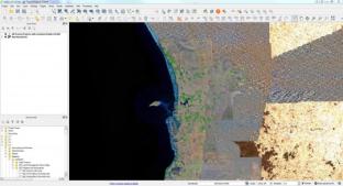
These services have been delivered across a range of different organisations to deliver a wide variety of environmental technology solutions, as can be seen from the projects shown on the map and list below.
Tranen Revegetation Systems – Spatial Implementation

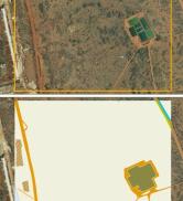
Back in 2011, Gaia Resources implemented a new spatial mapping system based on QGIS for Tranen, that linked to their customised database to map and display information about their revegetation projects. The implementation included the development of this linkage, several mapping templates and a restructure of their corporate GIS data stores. The system is still in use to this day, and we revisited it in 2017 to produce the blog at https://www.gaiaresources.com.au/using-qgis-environmental-restoration/.

Atlas of Living Australia

Gaia Resources’ Director, Piers Higgs, was appointed as the Citizen Science Team Lead for the Atlas of Living Australia (ALA) back in 2010, and led the ALA’s citizen science efforts, including the development of the Biological Data Recording System (BDRS).  This involved frequent travel to Canberra, along with a wide range of duties meeting with external groups, and implementing the BDRS for a wide range of projects under the ALA’s auspices.  Following on from this contract, Gaia

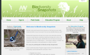
Biodiversity Snapshots

The Biodiversity Snapshots project was implemented by Gaia Resources using our BDRS system, with a custom mobile tool developed for the project.  This project aims to assist students and teachers to field trip and report on their local fauna, across a broad range of environments in south-eastern Australia, including urban, bushland and coastal areas.  Gaia Resources initially developed this under the auspices of the Atlas of Living Australia, and then went on to provide additional support to the project, including h

Bush Blitz

Gaia Resources have worked with the Australian Biological Resources Study (ABRS) on their Bush Blitz program for some time, assisting with a range of different sub-projects.

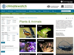
Climatewatch

Gaia Resources was contracted to provide a system for the emerging ClimateWatch project back in 2009.  As part of this, we started the development of the Biological Data Recording System (BDRS), an initiative that went on to win awards locally and nationally.  In the early days of ClimateWatch, Gaia Resources provided a range of services including software development, web hosting and went on to support other development groups working with Earthwatch to ensure that the longevity of the data in ClimateWatch was pres

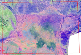
Historical Imagery Assessment

Gaia Resources reviewed the available aerial photography and other remotely sensed (satellite) imagery covering a mine and adjacent areas in the Pilbara region of Western Australia. This project included two phases, the first being to source the wide range of imagery (ranging from 1972 through to 2008) and in the second phase of this work, to undertake analysis of the changes over time to a range of vegetation associations.

Get in touch with our team

enquiries@gaiaresources.com.au